• Notice for iPhone users: DO NOT use the image size reduction option when uploading photos to the forum. This causes portrait images to post as landscape. We have added a warning to the image insert pop-up as well.

Mikes wanderings

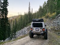
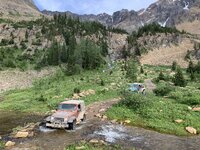
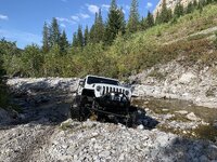
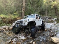
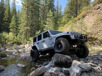
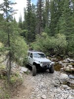
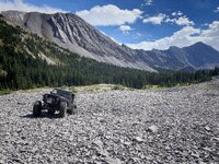
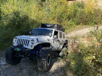
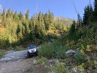
The trail up to this abandoned mining area winds its way up a creek carrying gully, criss-crossing said creek. It's one of my favourite trails. You gain elevation quickly, and the views are tremendous!

 
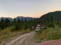
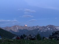
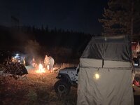
Campsite was spectacular, and we were treated to the sight of the full moon rising over the Rocky's. and sadly, the next morning, we turned the tires towards home, until the next adventure.
 
Next trip got us into southern BC. Only about 30 miles north of the border with Montana.
 
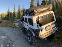
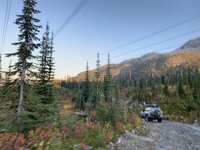
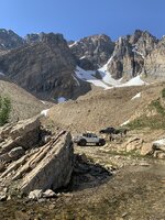
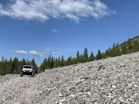
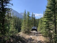
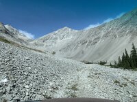
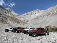
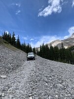
We climbed an old mining trail, once again! Big surprise, I know! Lol. The views were amazing as we made our way up, gaining elevation quickly.
 
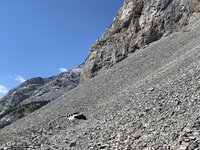
The bowl this trail leads to is honestly mind blowing. We spent some time exploring, then headed back down, as we could see a weather shift rolling over the peaks to the east of us. Sure enough, the next morning, there was 8" of snow on the ground. September 2nd. It didn't stay, but would've trapped us up there until it melted!
 
That’s # 1 on my Jeep bucket list. Hopefully in the next couple of years if it happens. It will have to be a June - September trip. 9 inches of snow down here in the tropics in January was enough for me to realize I can’t handle that stuff anymore. Unless I have an inside bed with roaring fire. Dam I want to make that trip. :cheers:
 
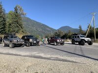
Our next adventure took us to Revelstoke BC. We headed towards eagles pass/pettipiece pass. One of the most heavily populated areas for grizzly’s aside from coastal regions. Unfortunately, or maybe fortunately, we didn’t see any!!
IMG_1051.jpegIMG_1081.jpegIMG_1100.jpegIMG_1197.jpegIMG_1271.jpegIMG_1318.jpegIMG_1301.jpegIMG_1323.jpegIMG_1352.jpegIMG_1365.jpeg
 
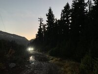
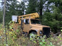
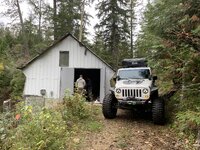
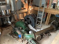
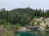
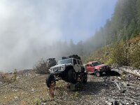
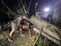
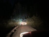
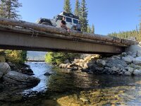
We had to cut our way thru some deadfall. And still wound up driving over a lot of it. With quite a cuff next to us that we missed in the dark, lol. We camped next to the lake, across from a logging town. If we’d wanted to, we could have arranged for a barge to pick us up, and deliver us to the town. But then it would’ve been all pavement and a long back trek to the town rigs. We also found what appeared to be a forgotten generator station. Which was still live, and supplying power to a cabin we found the next morning. We also found bridges over creeks and rivers that made no sense for the location, and lack of traffic or commercial use on the west side of the lake. So after wandering a bit, we headed back up the pass, breaking out of the fog. IMG_1428.jpegIMG_1429.jpegIMG_1431.jpegIMG_1436.jpegIMG_1454.jpegIMG_1465.jpegIMG_1487.jpegIMG_1502.jpegIMG_1413.jpegIMG_1417.jpeg
 
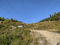
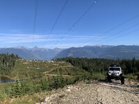
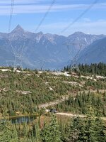
So many areas in BC are accessible due to resource exploration, or power line right of ways. While the lines are not the prettiest, this trail is still worth doing. some of the spots thru the huge cedars are well worth stopping, and just taking in the quiet.
 
Back
Top