• Notice for iPhone users: DO NOT use the image size reduction option when uploading photos to the forum. This causes portrait images to post as landscape. We have added a warning to the image insert pop-up as well.

2019 EJS and SOA National/Sand Hollow prep/trip

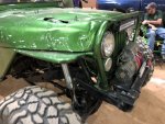
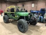
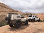
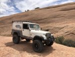
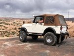
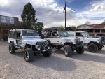
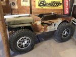
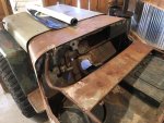
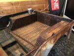
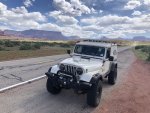
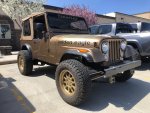
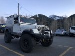
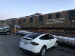
Major trip highlight getting to check out one of the most perfectly loved Scramblers I’ve ever seen. Fred/Moabite’s crazy beautiful rig :headbang:

It was great to meet him and talk for the first time in person as well as see this beautiful Scrambler. :bow:

Hey...I recognize that Scrambler. But I thought Moabite's name was Frank...not Fred. Was great talking with you too, Erin.
 
Hey...I recognize that Scrambler. But I thought Moabite's name was Frank...not Fred. Was great talking with you too, Erin.

:rotfl: sorry man, long week. Need to get out of the sun, the raffle is well timed.
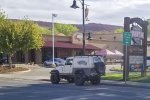
 
Hope you win something at the raffle. I wish they were raffling off a new Gladiator like they've done with JK's a couple of times. The Scrambler and I will be working the Walker Drug parking lot exits during the mass departation in the morning (same parking lot where the Jeep display has been). Wave if you go by. Then we'll be up at the Command Post on Sand Flats road until 3 p.m. Enjoy the rest of your time here!
 
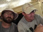
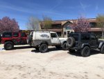
You would be correct. Had breakfast with Truck Night in America runner up David Adams. Got to check out the carnage to his rig last night in person after the raffle.

BCC84D75-F0B1-49D4-BCB6-2D4B52B241DC.jpeg7E438AD4-B0A3-408E-9A20-BE05CF1C910E.jpeg8EAEED00-4081-43A4-8708-437F965D040F.jpeg67621586-EDEE-4242-8E8B-714279668A9B.jpeg
 
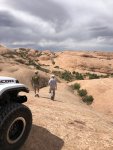
Did part of Hell’s Revenge today (not Hells Gate or Escalator) with some SOA president guy (who wasn’t in his Scrambler :angry:)
Also checked out Outlaw Jeep Tours and their upcoming project flatty. Currently trying to decide between a rock rig or a rat rod. Found a nice -7 there too, a couple wanted to check out the JLs for a day.

7BE2E731-A2EF-40A0-B38D-8F82D5EC44C8.jpegB139683E-83ED-47D2-B2FC-6746F0109DEB.jpegD31D08A4-E4A5-4A4D-8385-EF7B019AE1A0.jpeg2A14EF28-2A1D-4BE7-AC7F-B0949F322494.jpegC83BC992-496C-479A-9E35-18329288A67D.jpeg4B57FCC7-E541-47E2-8061-03658F1E2BB8.jpeg1CAE7433-86EA-46DD-9EB3-46EC4CB1B5A1.jpeg42744A00-EE1C-4B10-B3EF-AD212BF67267.jpegE726ECA9-6286-4301-86A8-8D16314EE301.jpeg
 
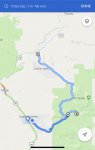
Tried posting more pics a couple times but the signal failed. This is today’s plan, on the way to Grand Junction from Moab.

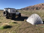
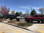
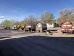
Camped at the end of the old airport the last two days. Free and there’s a clean portajohn (none of the RVers use it) within easy walking distance. This is only open around EJS and is apparently being developed into houses next year
75378CAE-3408-4BF4-AD8E-EB449043DB6F.jpeg

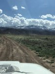
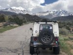
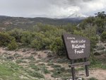
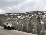
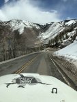
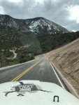
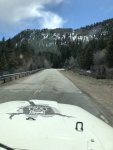
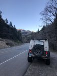
Trying the La Sal loop road through these, hoping the weather last night doesn’t mean too much snow on the road. Then on to Grand Junction for the night.
90501FE0-DE90-41D3-BEB5-B782B126BDDE.jpeg55473DF1-67C8-4D23-AC4D-1D3B90684F79.jpeg
 
Beautiful area. I really need to get back to that area and spend some time. Been a long time.
 
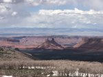
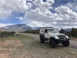
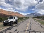
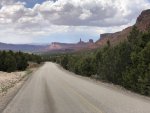
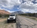
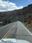
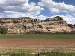
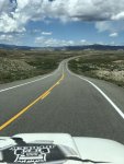
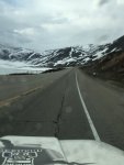
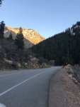
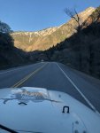
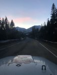
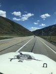
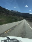
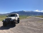
Today was possibly the greatest road drive I’ve ever had. I can’t believe I’ve never driven out 128 from Moab to Cisco rather than 191 north. I feel like I’ve been cheated in all my other trips out.

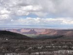
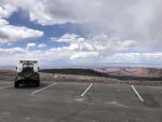
The the La Sal Loop is just beyond description with snow capped mountains to forest to red rock spires and canyons. All so close they’re right on top of you. 128 out to Cisco along the River is INSANE!!

479F6286-CAB5-4375-A47A-D6FF1C8464AB.jpegBD9E8963-04C1-4A32-81C5-EDB62C514896.jpeg044D5BA6-B04E-4FA9-9FEF-D67AD9548D52.jpegC9338E9F-D9AC-485C-87F9-A81F847F8967.jpegFC6F25EE-0FD8-408C-B966-BD92CFE7AA58.jpegB94EB817-D515-4DFC-8F65-D3B95A8AF37E.jpegFFD32AD9-CD0D-4CCF-BCB2-1AAA58383698.jpeg2F1DD217-3091-4BA9-9CE8-2DA40C668C04.jpeg

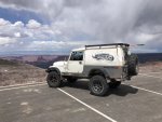
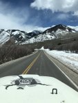
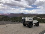
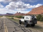
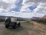
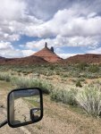
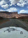
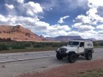
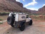
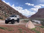
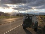
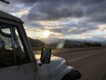
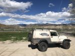
So all of these next pictures are from the same spot, I just walked around the Jeep and took all the angles. I think this is the most picturesque section of road I’ve ever driven in all my travels. And it’s just down the hill from @Moabite’s house!!!
DF445AD7-D439-47AF-8C9F-7DDDBA69EF86.jpeg1B7B1EBF-BFEE-4E03-82A6-DCE2D2A09145.jpeg
 
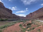
Here are some from the intersection of the loop road and 128 out toward Cisco. Simply insane with the River and the red bluffs looming over you. Incredible.

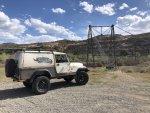
The old one-lane Dewey suspension bridge was cool to see (wooden deck burned due to an errant campfire nearby)

450DEE86-55BD-47F1-ACC5-26BD8CC653FB.jpeg09444DDC-B976-40A5-9387-8C9A087FD4B6.jpeg5402078B-E5A6-4FC1-A164-D97C718D564D.jpegFE393979-E6A1-4179-9B68-6BCE52D19C72.jpeg1D1B764C-E456-40B0-9FAC-A86D2AA98EB8.jpeg05D8E71C-1A0A-4E5F-BC99-B0B100624A44.jpegC1908E5B-D708-41D5-B116-3AF0010768FF.jpeg6396249B-349A-4201-946C-B4B773606A9D.jpeg610DB1FE-13A9-441A-B2C6-5503B4E17208.jpeg639F7397-9B02-48FB-82CF-CF15EF5FD66A.jpeg
 
Today was Grand Junction to Orem via backroads that basically went north out of Fruita and then due west through Dinosaur, CO (I turned left on Brontasaurus Road) to Heber City and then along the Provo River into Orem.

Two large passes to climb and two serious extremes in environment.

Heading north into the mountains out of Fruita.
04DD1789-7652-4050-A85D-BA1A40A3BE3A.jpeg
Didn’t take long to climb into snow remnants.
917A13B2-2709-452D-B3B5-55DCFE0F9A56.jpeg

On top of Douglas Pass, lots o’ switchbacks and an insane view.
C0172758-A85A-4277-BC5B-9F468FA0CB7A.jpegEEBEF287-8B47-40F7-A08C-E5790C44846F.jpegE4DAB35B-CA1B-4EEA-A6FC-0914520628BF.jpeg

Forget the lake name, but the sky was awesome and when I pulled off at this overlook there was a photo shoot going on for either a bed/mattress ad or a porn scene at the other end of the parking lot. Should have taken a photo. Three guys lighting a bed sitting in the scrub on a cliff over the lake.
0E7AB4F3-EBAF-46D5-B5D0-EA007F40ACEF.jpeg

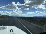
More climbing into some serious cold and more snow. Caught up with some rain but nothing much at all and no falling snow.
107B6CAA-2A89-491A-9208-7E6BFB9D271E.jpeg

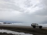
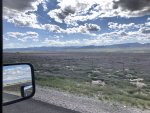
Didn’t see the name of this large lake just before the summit but couldn’t help getting out for this shot.
548A9B5C-1E21-4CFD-8B80-7B16A52506FD.jpeg
 
Second part:

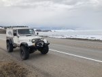
The colors of the lake, sky, road, and Jeep looked really cool to me.
D2E2173B-17B5-4D95-82A1-09F06E042556.jpeg

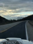
Just before Heber City, the sky broke.
72D9F09B-BF28-4F3E-85C3-87B9C4169EC2.jpeg5D3C18E5-0136-488F-A824-4CF449A40AAC.jpeg057C26CB-9D9B-4386-BD5B-BC64B0897971.jpeg

Grabbed dinner there at a Carl’s Jr. (We don’t have them or Hardee’s) and found a campground along the Provo River down the canyon (warmer night temp) via a search on my phone. Headed out (too dark for any pics to work) only to find the campground was closed. After a long day I lost interest in camping and hit hotels.com to find the nearest cheap place :shrug:
 
Tomorrow is a “spare” day where I don’t have anything specific planned and don’t need to travel more than an hour to get to my hotel and appointment Wednesday.

If anyone has suggestions around the area, let me know.
 
BW, awesome pictures! Thanks for bringing all of us along for the ride!
I have not been out that way much...really one time only in the Grand Junction/Fruita area you mentioned. We also toured the Black Canyon park.
Safe travels!
 
If you have time, maybe try some trails on Grand Mesa (should be relatively snow free by now). or if you're digging the pavement tour, the drive along the Dolores River Canyon (find Gateway CO on a map) is beautiful and largely uncrowded (also make a neat alternative route to get to the Moab area).
 
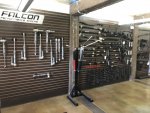
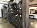
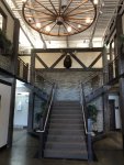
Took it easy this morning and made my way to the Teraflex shop. Got the grand tour and looked completely out of place among the shiny JKs and JLs.

Ugh, pics all out of order but you get the idea.

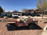
The president’s custom V8 CJ is pretty sick, I think the tires just need to come inboard a couple inches :shrug: Story is that he had a corvette and after this was finished for him, the corvette was up for sale inside the week.

43F33029-8B62-470B-B561-B428477782C6.jpeg

DED7B5B7-8C5D-45CC-AE43-2D20D1F84048.jpegBDE88372-5A69-4AF9-8B74-16CCBAF2114B.jpeg11E23984-1E9F-452D-B1DA-A30225D24DC4.jpegE8A01C1C-17EB-4DFA-9073-0479EBCB3B55.jpeg38BFF0E8-32D0-439B-83B3-531EC44587ED.jpeg
 

Attachments

  • B6A57D22-1EF9-4397-A96C-5A814438ABF6.jpeg
    B6A57D22-1EF9-4397-A96C-5A814438ABF6.jpeg
    171.6 KB · Views: 30
  • C637AA33-02C1-44DF-A3AD-4915E9BB5B54.jpeg
    C637AA33-02C1-44DF-A3AD-4915E9BB5B54.jpeg
    134 KB · Views: 30
  • 80F80E8C-75A4-4726-BE27-AA16AAAE1D1D.jpeg
    80F80E8C-75A4-4726-BE27-AA16AAAE1D1D.jpeg
    110.6 KB · Views: 30
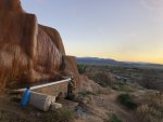
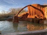
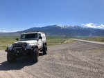
Beautiful lush valley drive today. Wildflowers were going bonkers. Stopped on the early side at a crazy hot springs campground. Fantastic water in cool pools and bathtubs set into the hillside. Tent camping—I did not rent one of the busses.

Soaking as I post this

764EC393-D8FD-4713-9EE8-8C9B0B6647CC.jpegFFB23FB3-645C-4DA5-BC89-E84D56B47BB0.jpegFAC60CB6-7FB2-4D33-B05E-A7FC683DE661.jpeg70B7B3F8-0A6C-4A09-A667-45F7E5A00855.jpegE4ED32AF-156F-4116-A4E6-AF493861E629.jpeg9F8530BA-D26F-4BFA-BD06-6FDB645DE903.jpeg4535D296-C077-4813-9B31-978125D1316D.jpeg5C90BAE7-F558-430E-853E-E6067FCDDA13.jpeg8B5F434A-BC28-46C5-A343-0F243BD5A66B.jpeg9E05CE39-8109-4CF8-B906-029850D9A167.jpeg
 
Planned to head from Monroe to Zion and back to Cedar City where I need to be tomorrow but I was heading into a line of strong storms between me and Zion, so I changed plans.

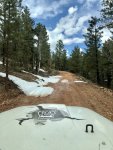
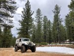
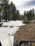
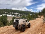
Went west through the Dixie National Forest and took a couple forest roads until I hit deep enough snow for enough distance to make me turn around (being solo). Still had some fun playing in the smaller patches.

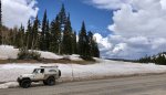
Great views at the summit on Rt 14 at 9910 feet.

2781 miles down, if all goes well I’ll be in St George tomorrow. :fingerscrossed:

4454A493-1567-4E55-885D-BA42C9AA5FAF.jpeg

CA81729F-A601-4EDF-83A7-00206245F278.jpeg2D709E4D-FADA-4D21-87EF-44EEF6D7E26D.jpeg34C70654-C700-4226-AFF6-F82AD5ED1A7D.jpegE30343B3-73E7-4424-BCAE-C8097ACF548D.jpeg9CA5DAA3-54AF-4E4E-B95E-09E2C104AE08.jpeg
 

Attachments

  • F4EA4896-551B-4D4B-B96C-042E5A14B1EB.jpeg
    F4EA4896-551B-4D4B-B96C-042E5A14B1EB.jpeg
    197.7 KB · Views: 1
Back
Top